

Last updated: November 12, 2026
GTA VI is set in Leonida, with Vice City as a major location rather than the whole setting. Rockstar’s official GTA VI material introduces city districts, islands, wetlands and inland settings. It does not provide a verified scale for the playable map. A map assembled by fans from trailer frames is an interpretation, not a navigation guide.
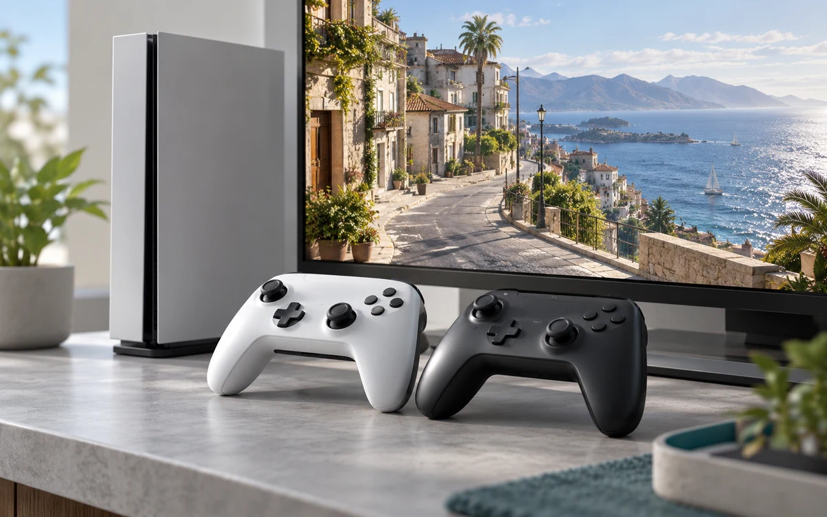
PlayStation consoles for GTA 6
As an Amazon Associate I earn from qualifying purchases.
-
PS5 Original
825 GB SSD, built-in disc drive
Keep your original PS5 if it works. For a replacement, check the seller, condition and return terms.
Check price on Amazon -
PS5 Slim
1 TB SSD, disc drive included
Choose this smaller model if you want to keep using compatible game discs and do not need Pro enhancements.
Check price on Amazon -
PS5 Pro
2 TB SSD, disc drive sold separately
Consider the Pro if you want more built-in storage and visual enhancements in supported games.
Check price on Amazon
What the locations tell us about the setting
Vice City is the urban setting. Rockstar’s Vice City location page presents different sides of the city rather than a single strip of beaches and neon. The value of the official page is seeing what the publisher associates with that location, not trying to infer the boundaries of every neighborhood from the background of one shot.
The Leonida Keys and Grassrivers show different parts of the state outside the dense city: the islands and the wetlands. These give readers a better sense of the setting than a speculative count of miles. The promotional material does not establish where you can travel at every point in the story or which stretches of water can be crossed.
Port Gellhorn, Ambrosia and Mount Kalaga broaden the setting with an older coastal community, an industrial area and an inland wilderness location. They are officially named places. Their inclusion does not tell us how they connect in play, how quickly you can travel between them or which buildings can be entered.
How to read a trailer-based map
Start by labeling only the places that Rockstar explicitly names. For a landmark spotted in a trailer, look for a second view that supports the identification. Camera angles, edited cuts and images from different scenes can suggest proximity without proving that two locations are next to each other. Do not calculate a drive time from a montage or use a promotional image to count accessible interiors.
What to check when the game is playable
A useful player map should show where a route begins, how it is unlocked and whether it relies on a specific vehicle or mission. For a spoiler-free first session, skip route maps that reveal story triggers. Start with the publisher’s location material and our spoiler-light character guide, then discover the connections between areas through play.
Compare the setting without inventing a route
The official launch gallery is a better starting point for exploring the setting than an unlabeled composite map. Look at what each location contributes to the larger picture. The dense urban imagery of Vice City and the open water around the Keys establish different visual scales. Grassrivers adds a wetland setting rather than just another neighborhood. The inland and industrial locations make it possible for the same story to move through very different surroundings without proving those areas are close together.
That distinction matters when someone claims a trailer shows a drive from one named area to another. A shot may show a roadway, a cut may show a new landscape and both may be real game footage. The cut alone does not establish that the route is continuous or even that the scenes happen in that order.
Keep a map note that can survive launch
- Write the publisher’s place name and the official page or image that identifies it. If the page does not name the location, write unknown.
- Describe what is visible separately from what you infer. A road crossing water can be observed; its endpoint is a guess unless the shot or publisher identifies it.
- Do not mark a route as usable until someone can repeat it in the game and show where it starts. Early story limits, mission states and unlocked travel are separate from the promotional map.


Write Your Review
No reviews yet. Be the first to share your experience!